Maps
-

Ancient Greece Maps
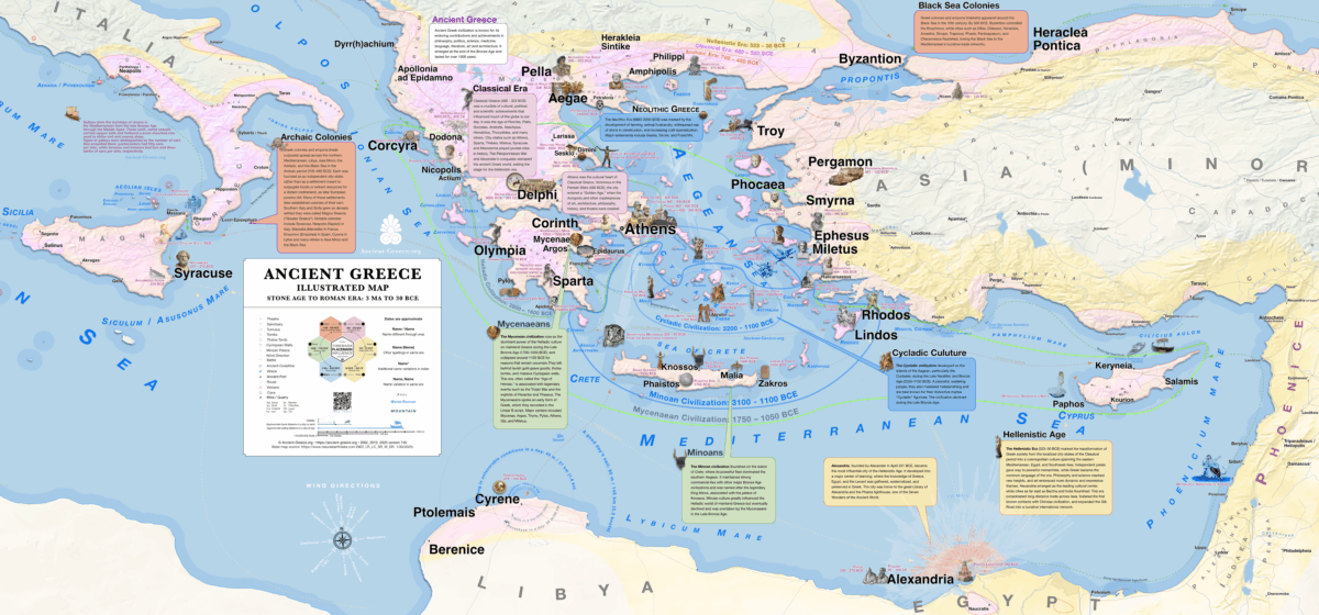
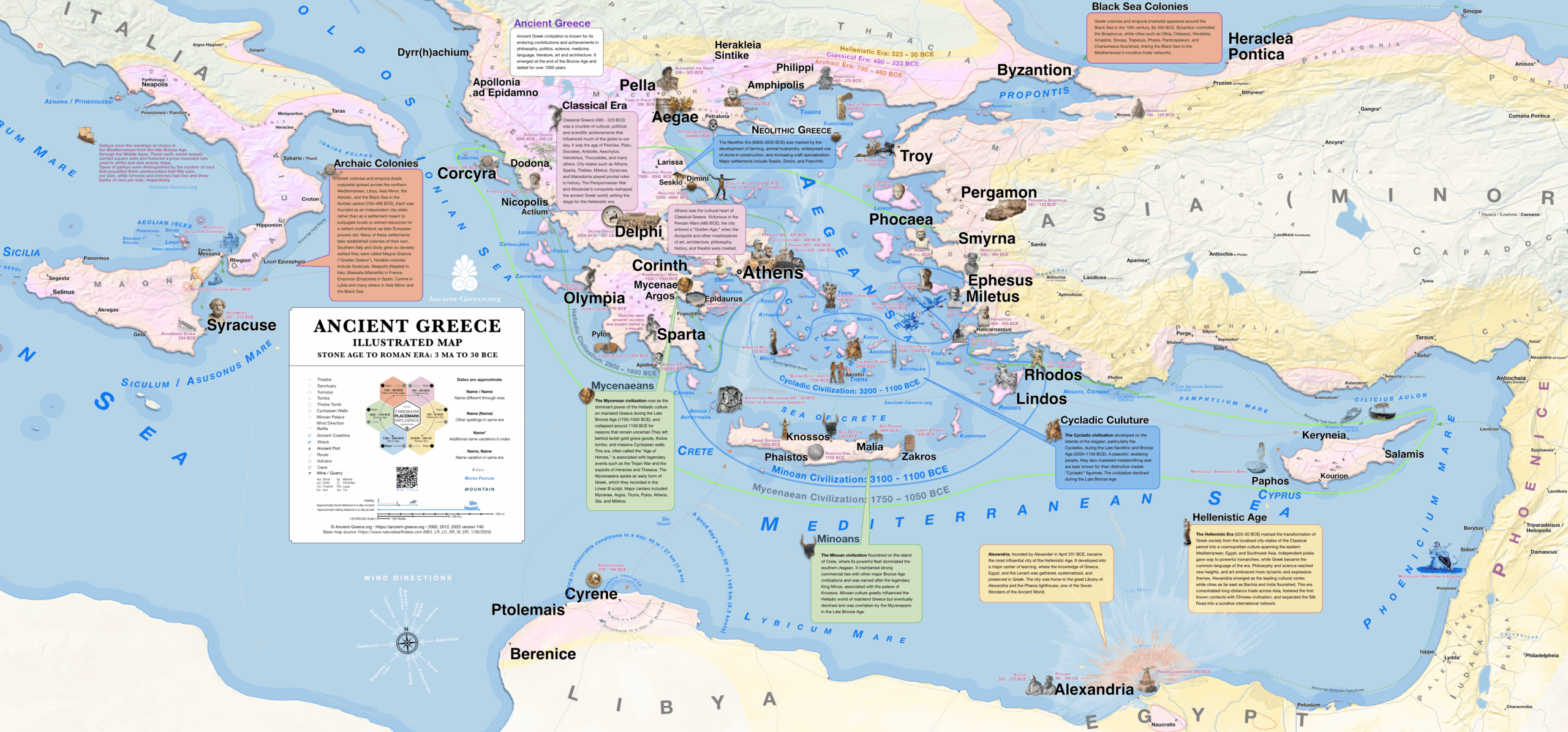
Read more: Ancient Greece MapsDetailed Map of Ancient Greece Stone Age to Roman Era: 3 Ma – 30 BCE Detailed map of the Ancient GreeceΛεπτομερής Χάρτης της Αρχαίας Ελλάδας Our most detailed and complete in area coverage map of Ancient Greece includes…
-

Ancient Greece Maps: Editor’s Notes
Read more: Ancient Greece Maps: Editor’s NotesIndex and Sources The complete Ancient Greece map contains over 1700 places, each hand-crafted and cross-checked. A general list of sources can be found in the bibliography, while the map index (περιεχόμενα) contains place-specific sources. In general, trusted…


